Problem Statement
Remote Sensing Applications in Hydrology
Module Overview
This module offers background content on the fundamentals of remote sensing, but also integrates a set of existing online tools for visualization and analysis of satellite observations. Specifically, students are introduced to a variety of satellite products and techniques that can be used to monitor and analyze changes in the hydrological cycle. At completion of the module, students will be able to visualize remote sensing data (both in terms of time series and spatial maps), detect temporal trends, interpret satellite images, and assess errors and uncertainties in a remote sensing product. Students are given the opportunity to check their understanding as they progress through the module and also tackle complex real-life problems using satellite-based Earth observations that professionals and scientists commonly use in practice.
Topics Covered
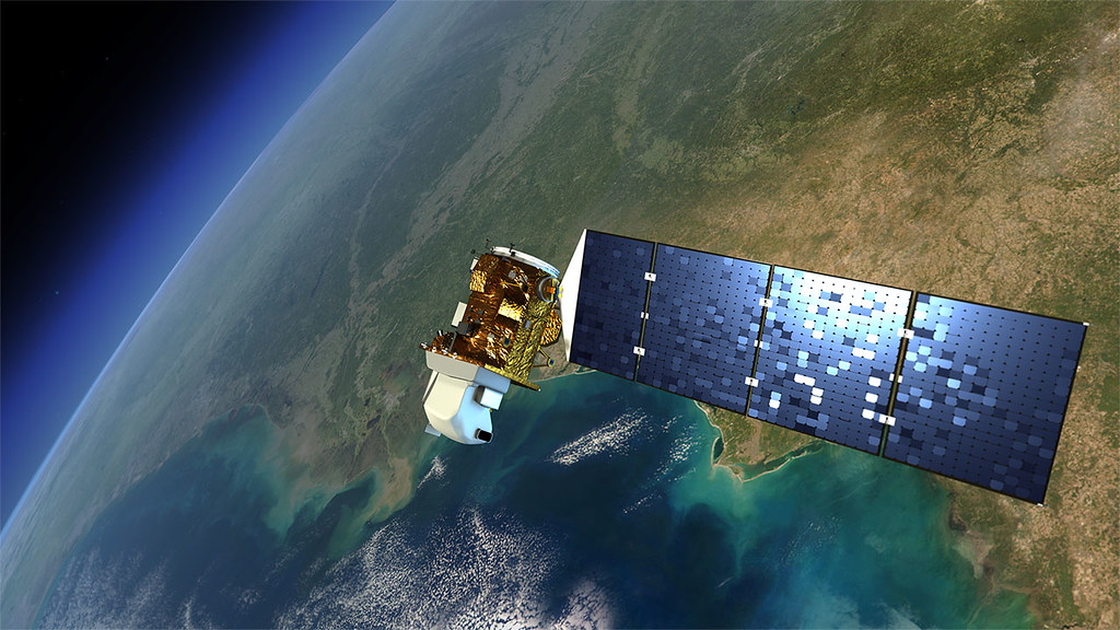
Fundamentals of Satellite Remote Sensing for Hydrology
The Temporal Dimension of Satellite Data
The Spatial Dimension of Satellite Data
Uncertainty and Error Assessment
Prerequisites
Some background in statistics is required.
Learning Objectives
Upon completion of this course students will be able to display, map, process and develop analytical workflows to identify remote sensing products from which they can extract information for a broad range of hydrological applications. This will be accomplished through activities within each section.
Course Authors
Manuela Girotto
Dr. Manuela Girotto is an Assistant Professor in the Dept. of Environmental Science, Policy and Management at the University of California, Berkeley. She is a civil and environmental engineer whose work merges cutting-edge space technology and remotely-sensed observations of the Earth with state-of-the-art models for the purpose of improving our scientific knowledge about variability and change in hydrologic cycles. Her research focuses on snow, soil moisture, and groundwater hydrology. After earning her PhD in Civil and Environmental Engineering at the University of California, Los Angeles, she worked as a research scientist in the Earth Science Division of the NASA Goddard Space Flight Center in Greenbelt, MD.
Email: mgirotto@berkeley.edu
Viviana Maggioni
Dr. Viviana Maggioni is Associate Professor of Environmental and Water Resources Engineering at George Mason University. Her research interests lie at the intersection of hydrology and remote sensing. In particular, she is interested in the application of remote sensing techniques to estimate and monitor hydrological variables. Her work has direct applications in water resources management, weather and climate prediction, as well as agriculture and irrigation practices. She currently serves as Chair of the AGU Precipitation Committee, Editor of the Journal of Hydrometeorology, and Associate Editor of the Journal of Hydrology.
Email: vmaggion@gmu.edu
Target Audience
Senior Undergraduate and Graduate Hydrology & Environmental Science Courses.
Course Sharing and Adaptation
This course is available for export by clicking the "Export Link" at the top right of this page.
This course can cited as follows:
Girotto M., Maggioni V. (2020). Remote Sensing Applications in Hydrology. HydroLearn. https://edx.hydrolearn.org/courses/course-v1:GeorgeMasonUniversity+CEIE742+Fall2020/about
If you are an Instructor seeking the answer keys, please contact the course creators using your official University email account.
Expected Effort
The module developers estimate that this module will take between 16 to 18 hours to complete.