Problem Statement
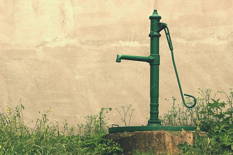
Did you know that 30% of the world's freshwater is underground? And that it is constantly moving? Groundwater is typically stored and transmitted in subsurface aquifers, and travels at different rates and time scales to the land surface and into rivers, streams and oceans as a component of the hydrologic cycle. Groundwater flow characterization is crucial to many hydrogeologic problems, both theoretical and applied, over multiple scales of space and time. Since groundwater can only be observed indirectly, except at a few places where the water table intersects with land surface, it is vital to see the linkages between data that can be collected and the properties of aquifers that determine flow and transport. After learning how to access and interpret groundwater data form the US Geological Survey, you will learn the driving force behind groundwater flow, how to calculate groundwater flow direction and travel time, and how this information pertains to real-life examples of water resource management and contaminant transport.
Module Overview
In the Groundwater Flow module, students will learn to apply data from wells and other sources to reach a quantitative estimate of groundwater flow using hydraulic gradient and aquifer parameters.
Topics Covered
Topics include analyzing well hydrographs; determining hydraulic gradient; analyzing potentiometric surface maps; calculating Darcy velocity; and calculating flow and transport.
Prerequisites
To complete this module successfully, students will need a computer with access to Internet.
Learning Objectives
Students will learn to access and interpret well data, apply it to determine hydraulic gradient in an aquifer, and calculate groundwater flow direction, travel time, and flux.
"This will be accomplished through activities within each section. Results from each activity will be recorded in specified results templates. The results templates for each activity can be found within each activity. The results templates are organized such that results from one activity can easily be used in successive activities."
Course Authors
Erin Haacker
Dr. Erin Haacker is an Assistant Professor in the Department of Earth and Atmospheric Sciences at the University of Nebraska-Lincoln. She uses both process-based models and statistical tools to investigate groundwater, with a focus on water supply for irrigated agriculture.
ehaacker2 "at" unl.edu
Mira Olson
Dr. Mira Olson is an Associate Professor in the Civil, Architectural and Environmental Engineering Department at Drexel University. The broad focus of her research is on protecting source water quality, with current interests in transboundary water management and community-based research design. Dr. Olson is Co-founder and Director of Drexel's newly established Peace Engineering program.
mso28 "at" drexel.edu
Target Audience
This module is targeted toward upper-division undergraduate to Master's level students in engineering and geology.
Course Sharing and Adaptation
This course is available for export by clicking the "Export Link" at the top right of this page.
If you are an Instructor seeking the answer keys, please contact the course creators using your official University email account.
Make sure you cite the source of your new course (e.g., this course was adapted from Groundwater Flow). You can include this citation on an "Adaptation Page" of your new course, in your course card, or in the introduction section of your new course.
Recommended Citation
Haacker, O., Olson, M. (2020). Groundwater Flow. HydroLearn. https://edx.hydrolearn.org/courses/course-v1:DrexelUniversity+CIVE431+2021_Winter/about.
Expected Effort
10-12 hours.