
Witold Krajewski
IIHR Hydroscience and Engineering, University of Iowa
witold-krajewski@uiowa.edu
HydroLearn
Introduction to Radar Hydrology: Working with Radar-based Quantitative Precipitation Estimates
Almost every hydrologic decision a forecaster makes, from a flash flood warning to a river forecast to a drought update, starts with one deceptively simple question: how much rain actually fell, and where? The answer is never measured directly over a whole basin. It is estimated, by stitching together weather radar, rain gauges, and satellite, each of which sees precipitation through its own distortions.
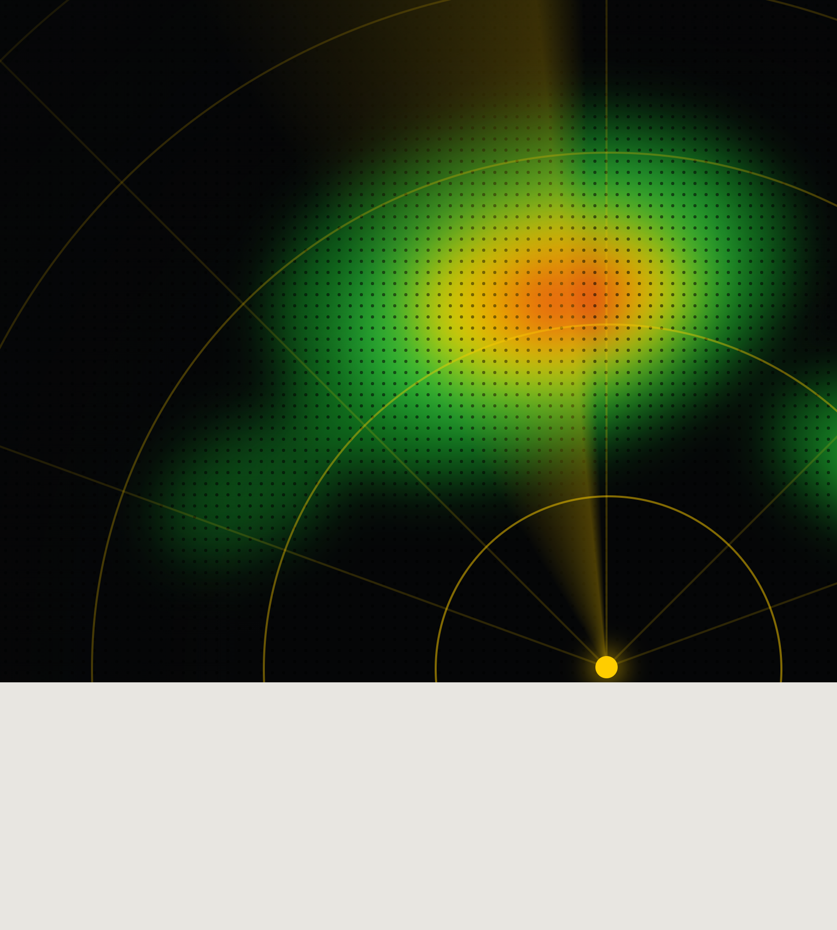
A radar does not measure rain; it measures the energy scattered back by raindrops and then converts that to a rate through an assumed relationship. A rain gauge gives a real measurement, but only for a funnel a few inches wide, and even that funnel undercatches in wind. Satellite sees everywhere but resolves the least. Modern operations fuse all three into a single national grid, MRMS, updated every two minutes at 1 km. Knowing where that grid is trustworthy, and where it is not, is core hydrology.
This module gives early-career NWS hydrologists a compact, hands-on grounding in Quantitative Precipitation Estimation (QPE): what the instruments really measure, why radar coverage makes or breaks an estimate over a basin, and how to pull, read, and compare today's operational MRMS products for a real flood event.
The hands-on activities use cloud hosted MRMS data and one running case study, the 4-7 July 2025 Central Texas floods (Kerr County / Guadalupe River), runnable directly in Python / Google Colab.
Quantitative Precipitation Estimation (QPE); radar reflectivity and the Z-R relationship; drop size distribution; dual-polarization variables (ZDR, KDP, ρHV); rain gauge undercatch and representativeness; satellite QPE (IR, passive microwave, SCaMPR, GPM); radar beam geometry and coverage; radar quality and climatology; the Multi-Radar Multi-Sensor (MRMS) system; radar only vs. gauge corrected / multisensor QPE; accessing MRMS data from the cloud.
Before starting this module, learners should have:
At the end of this module, learners will be able to:
This is accomplished through short readings on the fundamentals, a hands-on Z-R learning activity, and a sequence of MRMS data notebooks built on a single flood case study.
This module is broken down into four sections with small units. Each section is self-contained and can be exercised individually. Total estimated effort is about 2 hours, self paced.
| Section | Estimated time |
|---|---|
| Section 1, Introduction | 5 min |
| Section 2, The basics of radar QPE | 35 to 40 min (includes Learning Activity 1) |
| Section 3, Radar coverage for hydrology | 25 to 30 min |
| Section 4, Radar QPE in practice (MRMS) | 40 to 45 min (includes the notebooks) |
IIHR Hydroscience and Engineering, University of Iowa
witold-krajewski@uiowa.edu

IIHR Hydroscience and Engineering, University of Iowa
mohamed-abdelkader@uiowa.edu
Early-career hydrologists and operational forecasters at National Weather Service Weather Forecast Offices (WFOs) and River Forecast Centers (RFCs) who want to use radar-based QPE confidently and know its limits.
A computer with internet access and a modern browser. For the hands-on activities, a Python environment (numpy, pandas, matplotlib, xarray, cfgrib) or a Google account to run the notebooks in Google Colab. The MRMS data are open and cloud hosted (NOAA Open Data on AWS and the Iowa State archive), so no special access is required.
About 2 hours total. Self paced.
This course is available for export by clicking the "Export Link" at the top right of this page. You will need a HydroLearn instructor studio account to do this. You will first need to sign up for a hydrolearn.org account, then register as an instructor by clicking 'studio.hydrolearn' and requesting course creation permissions.
Krajewski, W., & Abdelkader, M. (2026). Introduction to Radar Hydrology: Working with Radar-based Quantitative Precipitation Estimates. University of Iowa.
This research was supported by the Cooperative Institute for Research to Operations in Hydrology (CIROH) under award NA22NWS4320003 from the NOAA Cooperative Institute Program.
Section 2 is adapted from the COMET® Precipitation Estimates, Part 1: Measurement module (UCAR/MetEd), supplemented with standard radar-meteorology references (Marshall & Palmer 1948; Fulton et al. 1998; Ryzhkov et al. 2005; Zhang et al. 2016) and the WMO solid-precipitation gauge intercomparison (Goodison et al. 1998). The MRMS hands-on activities are built on the MRMS QPE notebook series, adapted from the Project Pythia MRMS Cookbook. Operational product details follow the NOAA/NWS Warning Decision Training Division (WDTD) MRMS Products Guide.