
BYU
Terrain Analysis and Watershed Delineation
Hydrologic terrain analysis and understanding steps required for generating drainage networks and delineating watersheds.
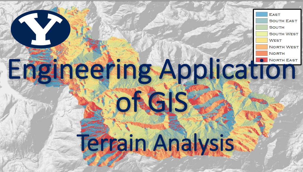
About This Course
Terrain Analysis:
Elevation and related terrain variables are important components that can be used and analyzed within GIS. For example, elevation across a landscape can change. Through GIS, it is possible to determine where the water flows, what new rivers and lakes are formed, how much water accumulates on the landscape, and where floods occur, etc.
Terrain analyses are often used to develop and apply hydrologic functions and models. In this module, you will analyze topographical information using a Digital Elevation Model (DEM) to :
1. Generate a stream network (predict a potential flow path network) and
2. Generate watershed boundaries
Topics Covered
Hydrologic Terrain Analysis and Watershed Delineation
Learning Objectives
1. The student will be able to illustrate watershed delineation using Digital Elevation Models (DEM). (Level 2: Understanding)
2. Using terrain analysis, the student will be able to analyze steps required for generating drainage networks and delineating watersheds with ArcGIS Pro Model Builder. (Level 4: Analyzing)
Course Authors
Dan Ames, PhD
Professor at Brigham Young University
Ren Nishimura
Student at Brigham Young University
Olivia Neeley
Student at Brigham Young University
Target Audience
Junior/Senior undergraduate students who have water-focused majors
Tools Needed
A computer that runs Windows Operation System and runs ArcGIS Pro from ESRI.